STudents build spatial relationships.
Submitted 12 years ago
Community Review for Google Earth
Jennifer B.
La Reina High School
Thousand Oaks CA, US
My Take
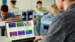
Google Earth is fantastic but a bit complicated to teach students how to create their own maps.
How I Use It
Students create maps of geographic features that American colonists faced coming to the new world. Additional applications include the growth in settlements , movement of Native tribes and growth in Slavery.


